
What Should You Check Before Driving in Iceland?
Three sites, every morning, before you leave. It takes five minutes and it is what every Icelander does.
Road conditions at umferdin.is, run by the Icelandic Road and Coastal Administration, which colour-codes every road segment and marks closures.
Weather comes second, from the Met Office, for wind, precipitation and regional warnings. Wind is the number that matters here rather than temperature.
Travel alerts come third, from SafeTravel, which carries hazard notices and the travel plan service that search and rescue rely on.
Checking the night before is not enough. Icelandic conditions change over hours, and the morning check is the one that counts.
Reading the Road Map
The road administration map is the single most useful tool for driving here.
Every stretch of road is colour-coded by surface condition, running from clear through slippery, snow and ice to impassable, with closed roads marked separately.
The map carries its own key on the page, and the categories are occasionally revised, so read the legend rather than memorising colours.
Red means closed. That is not advisory, and driving past a closure barrier carries a fine and voids your insurance.
Layers on the map include live weather stations showing current wind and temperature, and road cameras showing what the surface actually looks like right now.
The cameras are the underused feature. A photograph of the road you are about to drive beats any forecast.
Reading the Weather
The Met Office site is the authority, and one number matters more than the rest.
Wind speed is the Icelandic variable, and the Icelandic Met Office publishes it by region. Anything above 15 metres per second makes driving a high-sided vehicle unpleasant, and above 20 it becomes genuinely difficult.
Gusts matter more than sustained wind. A forecast of 12 metres per second with gusts to 30 is a different day from a steady 15.
Weather warnings come colour-coded by region. Yellow means take care and orange means change your plans, and Icelanders treat orange seriously.
Precipitation type matters as much as amount. Rain at 1°C on a road at −1°C produces black ice, which is the most dangerous surface in the country.
Visibility warnings for blowing snow are worth reading in winter. A clear forecast with high wind over fresh snow means a whiteout on exposed roads.
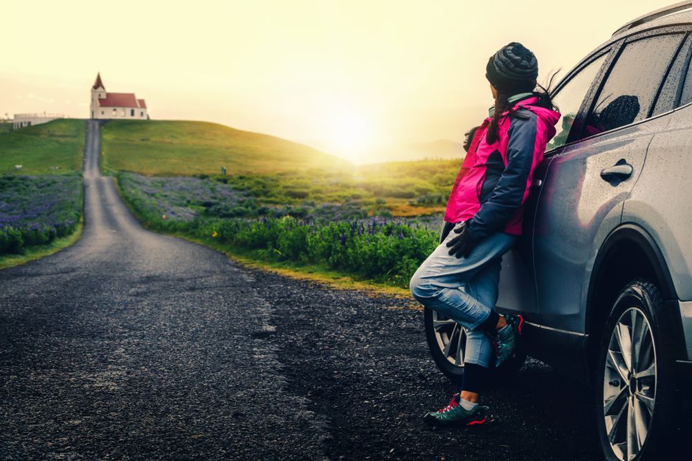
Road cameras show what the surface actually looks like, which beats any forecast.
SafeTravel and Travel Plans
The third site, and the one visitors skip.
SafeTravel carries alerts that do not appear on the road map: rockfall, avalanche risk, closed trails and volcanic activity.
The travel plan service lets you file your route and expected return. If you do not check in, search and rescue know where to start.
That matters for hiking and highland driving rather than for a Golden Circle day, and it costs nothing.
The 112 Iceland app sends your location to emergency services and can trigger an alert with one button. Details are at 112 Iceland.
Save 112 in your phone. It is the emergency number across the country.
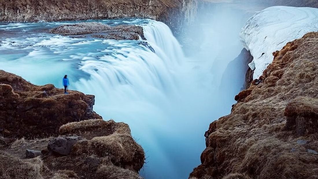
Winter is when the daily check stops being optional and becomes the thing that shapes the day.
Seasonal Conditions
Four seasons, four different sets of problems.
Summer roads are clear and the main hazards are gravel, single-lane bridges and driver fatigue on long days.
Autumn brings rain, wind and the first ice. September is the wettest month on the Golden Circle route at 147 mm according to Met Office climate data.
Winter brings snow, ice, drifting and four hours of daylight in December, which is when the daily check stops being optional.
Our guide to Gullfoss in winter covers what the sites themselves are like once the ice is in.
Spring brings meltwater, potholes and the gradual reopening of the highland routes from June.
Wind is the constant. It is the only Icelandic hazard that operates in every month.
When to Abandon the Plan
Five situations where the right answer is to stay put.
An orange or red weather warning for your region. Icelanders cancel for these and so should you.
Any road on your route marked impassable or closed. There is no clever alternative and the closure is there for a reason.
Gusts above 25 metres per second, particularly in a campervan or a high-sided vehicle.
Blowing snow with poor visibility, which turns a familiar road into a featureless white surface within minutes.
Any point where you find yourself thinking it will probably be fine. It is the phrase that precedes most Icelandic rental incidents.
Nothing on any itinerary is worth a day of stress or a recovery bill. Waterfalls do not move.
What This Means for a Golden Circle Day
The specific version, since this is the drive most visitors make.
The loop uses Routes 36, 365, 37 and 35, all of which are maintained through winter and none of which is guaranteed.
Route 365 over Lyngdalsheiði between Þingvellir and Laugarvatn closes more often than the rest, and when it does the loop becomes an out-and-back.
The Route 36 approach from Reykjavík is the more reliable of the two ways in, and it is the one operators default to in bad weather.
Route 35 north of Gullfoss becomes an F-road and is closed most of the year. Our guide to Iceland's F-roads covers what that means.
Winter daylight is the other constraint, with four hours of December sun meaning three stops rather than five.
Our guide to what the Golden Circle covers sets out the route and the timings.
The Daily Routine
Five minutes, in this order, every morning of a self-drive trip.
Open the road map and check every route on your day's plan for closures and surface condition.
Look at the road cameras for the worst-looking stretch.
Check the wind forecast for the region, paying attention to gusts rather than the average.
Look at SafeTravel for anything unusual.
Decide, and be willing to change the plan. That last step is the one that matters.
Let Someone Else Make the Call
The judgement about whether today is a driving day is the hardest part of a self-drive trip in Iceland, and it is the part a guide has already made hundreds of times. Our small-group Golden Circle tour with Kerið and Friðheimar runs year-round with drivers who read these sites before you are awake. Tell us your dates and we will find you a departure.
Compare Golden Circle Tours
Check each selected product for its current operator, guide, itinerary, meeting point, and terms.
View Our Tours