
What Tools Do You Actually Need?
One website and one app, and the website matters more. The Icelandic Met Office aurora forecast is the primary source in Iceland, because it is the only one that pairs geomagnetic activity with a national cloud map on the same page.
It publishes auroral activity at midnight on a 0 to 9 scale, forecasts six days ahead with values at 00:00, 06:00, 12:00 and 18:00, and shows cloud cover as a map where white means clear and green means cloudy. It also gives sunset, darkness, moonrise and moonset times calculated for Reykjavík.
An app adds convenience on top: push alerts when activity spikes, live readings between forecast updates, and something you can check from a car park without a browser.
What no tool can do is tell you whether you will see anything. They narrow the odds, and the sky decides.
Why the Met Office Page Comes First
Most aurora apps pull global space weather data and overlay a generic cloud layer. The Met Office is forecasting Icelandic weather specifically, which is a different job done properly.
Icelandic cloud is regional and fast-moving. A front can leave the south coast clear while the whole southwest is covered, and a national map built by people forecasting this country is more useful than a global model.
The activity scale is also calibrated for here. A 2 or 3 already means a display overhead in Iceland, which is a lower bar than any app aimed at a Scottish or American audience will suggest.
Bookmark it and check it every afternoon of your trip. Two minutes decides your evening.
What a Good App Must Show
Four things. If an app is missing any of them, it is a novelty rather than a tool.
Cloud cover for your location, ideally as a map you can pan. Cloud decides most Icelandic nights, and an app that shows only Kp is telling you a third of the story.
Current and forecast activity, whether expressed as Kp or as the Met Office 0 to 9 scale. A forecast for tonight is more useful than a reading from three hours ago.
Darkness times for your position. Nothing is visible before full darkness, which shifts from about 9pm in September to 6pm in December.
Alerts you can control. A push notification at 11pm when activity jumps is genuinely useful, and one that fires for every minor fluctuation gets muted within a day.
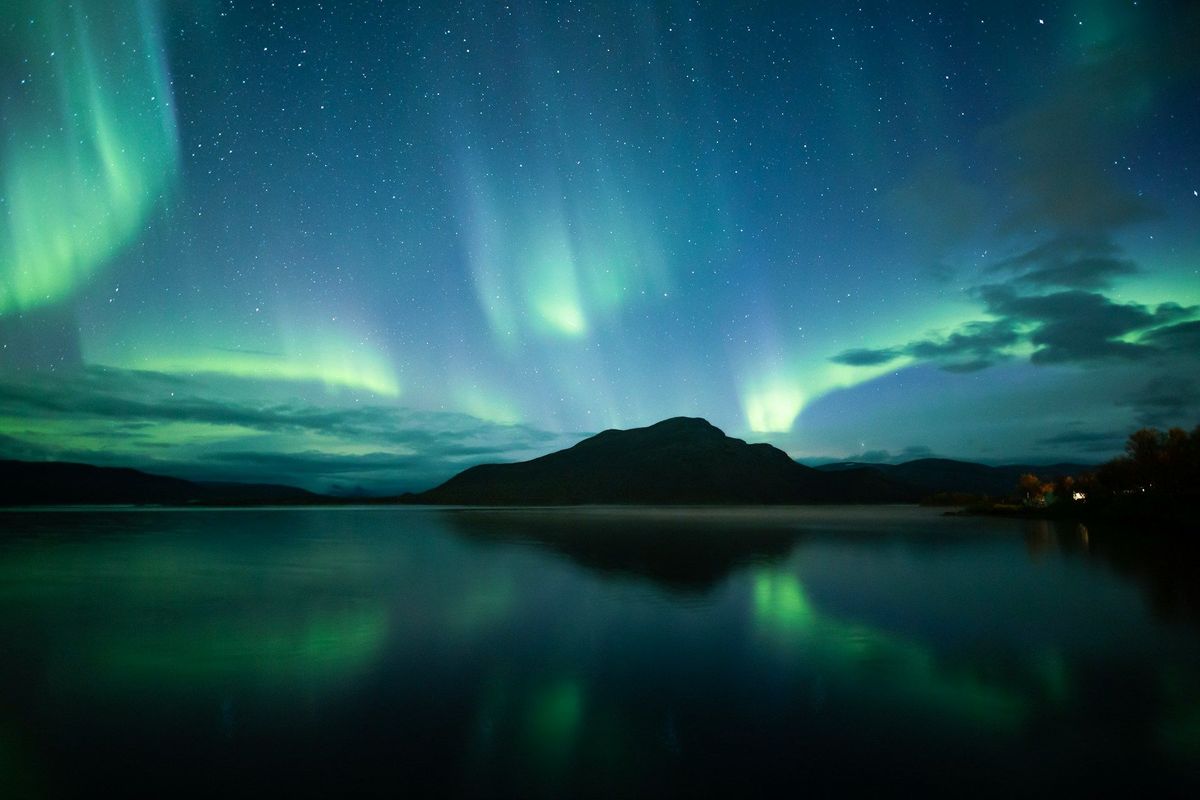
The tools narrow it down. Getting to the clear patch and waiting there is still the work.
The Other Data Sources Worth Knowing
Beyond the local forecast, three sources give you the underlying picture.
NOAA's Space Weather Prediction Center publishes the storm scale and short-range forecasts. Its scale explanation is the reference for what each Kp level means, with G1 at Kp 5 occurring around 1,700 times per 11-year solar cycle and G5 at Kp 9 only four times.
Solar wind speed and Bz, the north-south orientation of the interplanetary magnetic field, are the near-real-time indicators. A steadily negative Bz below minus 10 nanotesla is a better sign than a high Kp number, because Kp is a three-hour average that lags what is happening now.
Hemispheric power, measured in gigawatts, updates every half hour or so and gives the closest thing to a live reading of how much energy is going into the auroral oval. Above 50 GW usually means a visible display.
None of these replaces looking up. They are useful for deciding whether to stay out another hour.
How to Use Them Together
A workable routine takes about two minutes in the afternoon and one minute before you leave.
Around 4pm, open the Met Office page. Read the activity number for midnight, then look at the cloud map and find the nearest white patch.
Note the darkness time on the same page and plan to be in position 30 minutes before it.
Before leaving, check the cloud map again. Icelandic forecasts are useful about 12 hours out and rough beyond 36, so the afternoon view can change by evening.
In winter, check the road. is for the route you have chosen. A clear sky behind an impassable road is worth nothing.
Once you are out, put the phone away. Every look at a bright screen costs most of your dark adaptation, and rebuilding it takes 20 minutes.
Setting Up Your Phone for the Night
Small settings changes make a real difference outdoors.
Turn screen brightness to minimum and switch on the red colour filter in accessibility settings. Red light barely affects your night vision.
Download the area map offline before you drive. Mobile coverage on the Golden Circle is good, and it is not universal, particularly in the fissures at Þingvellir.
Keep the phone in an inside pocket between checks. At the Golden Circle's nearest station, Met Office climate data puts January's average daily low at 4.3°C below zero, and lithium batteries lose capacity fast in that.
Carry a power bank. Your phone is the forecast, the map and the camera, and it will be the first thing to die.
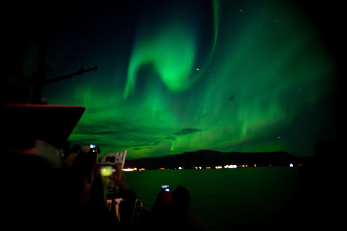
A phone is your forecast, map and camera on an aurora night, which is why the battery matters.
What the Numbers Mean in Iceland
Reading the scales through an Icelandic lens saves a lot of wasted evenings.
Activity 0 to 1 is quiet. Worth stepping outside if the sky is clear, and not worth a drive.
Activity 2 to 3 is the normal working range here. Iceland sits directly under the auroral oval at around 64 degrees north, so this already produces a display overhead. Most successful nights fall in this band.
Activity 4 to 5 is a good night, with brighter bands, faster movement and a real chance of pink edges.
Activity 6 and above is rare and spectacular. Colour beyond green becomes obvious, and the whole sky can fill.
Advice written for Britain or the northern United States tells you to wait for 5 or above. Following that in Iceland means missing most of the season.
Where the Tools Send You
The forecast is only useful if you act on it, and acting on it means driving to the clear patch.
Þingvellir National Park is the standard from Reykjavík, 45 minutes out with no town glow and car parks open around the clock.
Take a torch with a red mode if you head there, since there is no lighting past the car park and the fissures either side of the paths are deep.
Laugarvatn is the easiest self-drive option, with a lit car park to retreat to and a geothermal bath on the lake shore.
Hvalfjörður, the Grímsnes farmland and the Reykjanes lava fields lie in different directions, which matters when you are picking a spot from a cloud map rather than from a guidebook.
Common Mistakes With Forecast Tools
Five errors that recur.
Watching the Kp number and ignoring the cloud map. Cloud decides the night in Iceland and Kp rarely does.
Trusting a forecast more than three days out. Geomagnetic predictions beyond that are broad and cloud predictions beyond 36 hours are guesswork.
Setting alerts too sensitively, then muting them on day one. Set the threshold where you would actually get dressed and go outside.
Refreshing an app every five minutes in the field. It updates far more slowly than your patience and it wrecks your night vision each time.
Assuming an app knows better than the sky. If you are standing under stars and the app says 1, look up anyway.
Let Someone Else Watch the Screens
Reading the tools is straightforward, and acting on them at 10pm on winter roads is the harder part, which is why most visitors see their first display from a tour.
Our small-group Northern Lights adventure has a guide who has been watching the same cloud map since lunchtime and a vehicle small enough to change plans mid-journey. Book it early in your stay and use the apps yourself on the nights after.
Compare Golden Circle Tours
Check each selected product for its current operator, guide, itinerary, meeting point, and terms.
View Our Tours
