
Which Apps Do You Actually Need in Iceland?
Five, and the first two are the ones that matter.
Road conditions, from the road administration, were checked before every drive.
The 112 emergency app, which sends your location to rescue services with one button.
SafeTravel for hazard alerts and to file a travel plan.
The Met Office app for weather, wind, and the aurora forecast.
Parka or EasyPark for car park payments, and Klappid if you are using Reykjavík buses.
Everything else is optional, and several popular recommendations are not worth the space.
Road Conditions
The single most useful thing on your phone in Iceland.
The road administration publishes live surface conditions, closures, weather stations, and road cameras at Uferdin. is which works well in a browser and does not strictly need an app.
Every stretch of road is color-coded, and the map carries its own key. Red means closed, and driving past a closure voids your insurance.
The cameras are the underused feature. A live photograph of the road you are about to drive beats any forecast.
Check it every morning rather than the night before. Icelandic conditions change over hours.
Our guide to Icelandic road conditions and weather covers how to read it.
Emergency and Safety
Two apps, and they take two minutes to install.
The 112 Iceland app sends your GPS location to emergency services with one press, which matters where the signal is patchy and you cannot describe where you are. Details are at 112 Iceland.
It also has a check-in function that leaves a location trail your emergency contacts can see.
SafeTravel, run by the Icelandic Association for Search and Rescue, carries alerts that do not appear on the road map: avalanche risk, rockfall, closed trails, and volcanic activity.
Its travel plan service lets you file a route and expected return time. If you do not check in, rescue teams know where to start looking.
Both are free, and SafeTravel is what rescue teams ask visitors about after an incident.
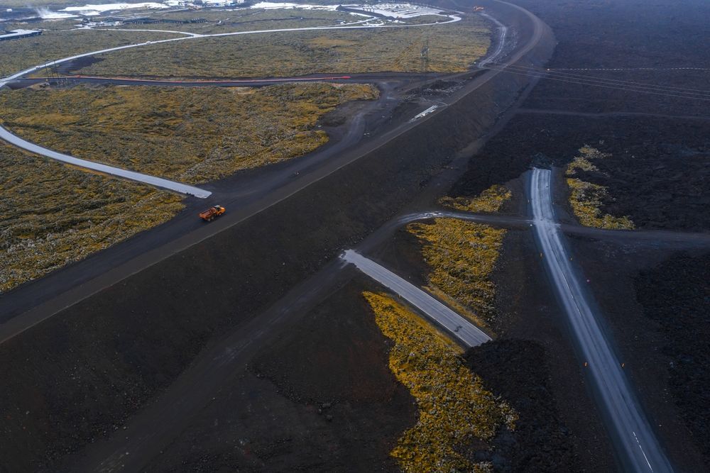
Live road cameras are the feature most visitors never find, and they are the most useful one.
Weather and Aurora
One source covers both, and it is the official one.
The Icelandic Met Office publishes forecasts by region, wind speed and gusts, precipitation, and color-coded warnings.
Wind is the number to read. Above 15 meters per second is uncomfortable in a high-sided vehicle and above 20 is genuinely difficult.
The same source carries the aurora forecast, which shows solar activity alongside cloud cover. Cloud is the limiting factor rather than activity.
Third-party aurora apps mostly repackage the same data with a more optimistic presentation. The official forecast is the honest one.
Solar activity is in the strong part of the eleven-year cycle, tracked by NOAA's Space Weather Prediction Center, whose predicted maximum for Solar Cycle 25 was a smoothed sunspot number of 115 in July 2025.
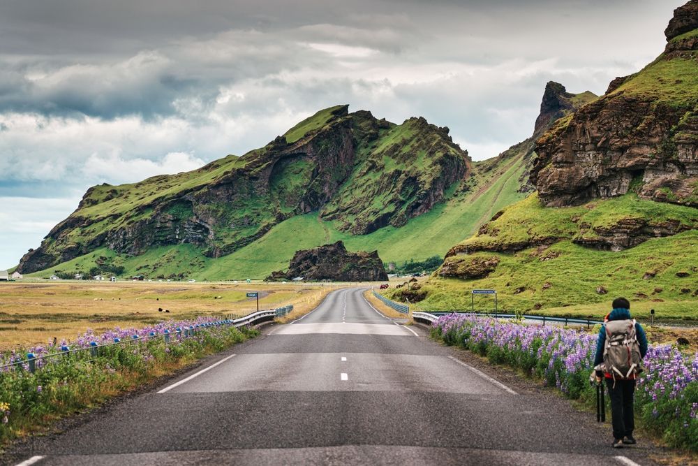
Download offline maps before you leave the city. Signal disappears exactly where you want navigation.
Payments and Transport
Three practical ones.
Parka handles car park payments at several Icelandic sites, including Brúarfoss at 750 ISK and Reykjadalur.
EasyPark covers the same ground at some locations and in Reykjavík's paid street zones.
Klappid is the Reykjavík bus app. Drivers do not sell tickets and do not give change, so this is the only practical way to pay, at 690 ISK a journey.
Þingvellir uses licence plate cameras rather than an app, paid at machines or through Checkit. Our guide to Þingvellir parking covers how that works.
Kerið takes payment at the gate rather than through an app.
Maps and Navigation
Two points, and the second is the one people forget.
Google Maps works well in Iceland and handles Icelandic place names better than it used to.
Download offline maps before you leave the city. Signal disappears in the highlands, the Westfjords and the eastern fjords, and it is exactly where you most want navigation.
Maps.me is the alternative for offline use and includes hiking trails that Google does not.
Do not rely on satellite navigation to tell you a road is closed. Use the road map for that.
What to Skip
Four categories that get recommended and are not worth it.
Standalone aurora apps that predict sightings. They repackage the Met Office data and overstate the odds.
Ride-hailing apps. Iceland has none, and taxis are phone-booked or found at a rank.
Currency conversion apps. Cards work everywhere and you should always pay in krónur rather than your home currency.
Translation apps for getting by. Icelandic English is close to universal, and every sign of any importance is bilingual.
Our guide to staying connected in Iceland covers the data side, including why EU visitors need nothing.
Before You Leave Home
Five things to do while you still have good Wi-Fi.
Install the 112 app and the SafeTravel app.
Download offline maps for the whole country, not just your route.
Screenshot your booking confirmations rather than relying on loading them.
Install Parka and Klappid if you are self-driving or using city buses.
Save 112 as a contact and note that it works without data.
For a Golden Circle Day
The specific version, since this is the day most visitors drive.
Check the road map for Routes 36, 365, 37 and 35 before setting off.
Check wind for the south-west region, since the loop is exposed between Þingvellir and Laugarvatn.
Have Þingvellir's parking payment sorted, and Kerið's 700 ISK ready at the gate.
Coverage along the loop is good, so offline maps are a backup rather than a necessity here.
Our guide to what the Golden Circle covers sets out the route and the distances.
Let the Apps Be Someone Else's Job
The daily routine of checking roads, wind and warnings is the least enjoyable part of a self-drive trip, and it is entirely handled on a guided day. Our small-group Golden Circle tour with Kerið and Friðheimar runs year-round with drivers who have already made the call. Tell us your dates and we will find you a departure.
Compare Golden Circle Tours
Check each selected product for its current operator, guide, itinerary, meeting point, and terms.
View Our Tours

