
For most of the year, Hekla looks like the least dramatic mountain in South Iceland. It is a long, low ridge that is often wrapped in cloud. From the Golden Circle you could easily mistake it for just another snowy hill on the horizon.
Then you learn that medieval Europeans believed it was a gateway to Hell, and that it has erupted more than twenty times since the island was settled.
Hekla is one of the most active volcanoes in Iceland, and it is also one of the most visible from the roads beyond Gullfoss and Flúðir. You cannot visit it on a normal Golden Circle loop, but you can see it on a clear day and add it to a longer drive. Here is its story and how to get closer.
What Is Hekla?
Hekla is an active volcano in South Iceland, rising to about 1,490 metres. According to the Icelandic Met Office's Hekla page, it has erupted 23 times in historical time and is the third most active volcano in the country, with its most recent eruption in 2000.
Unlike a classic cone, Hekla is an elongated ridge. Its summit runs along a fissure, so eruptions often split the mountain open along its length and pour lava down several flanks at once.
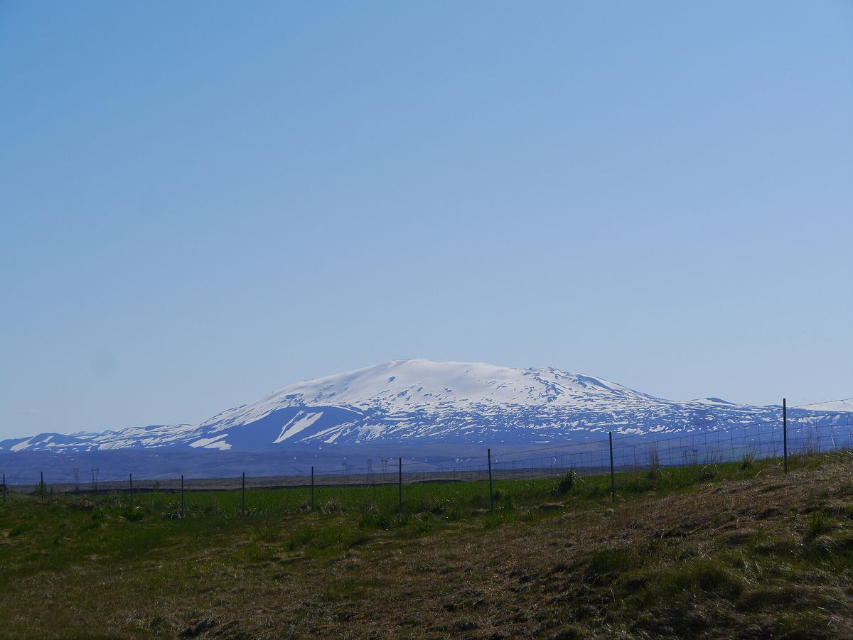
The long, low ridge of Hekla seen from the south, with its summit dusted in snow.
The mountain sits on a larger volcanic system with a fissure swarm about 60 kilometres long. Around 100 eruptions are known from the whole system in the past 9,000 years, which makes it one of the busiest volcanic areas in Iceland.
Where Is Hekla?
Hekla sits inland in South Iceland, east of the Þjórsá river and north-east of the town of Hella. It is roughly two hours' drive from Reykjavík, and it lies between the Golden Circle and the edge of the highlands.
From the Golden Circle, Hekla is the big snowy mountain to the east on a clear day. You see it best from the roads around Flúðir and the Þjórsárdalur valley, and from Route 1 between Selfoss and Hella on the way to the South Coast.
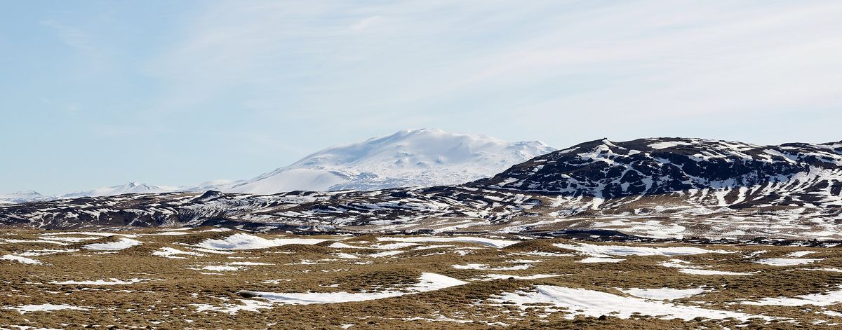
Hekla on the horizon from Road 32, which runs into the Þjórsárdalur valley beyond Flúðir.
Hekla's Eruption History
Hekla's written history begins with a huge eruption in 1104, the first known since the settlement of Iceland. Tephra from that eruption fell across a wide area and is linked to the abandonment of farms in Þjórsárdalur, including the Viking-age farm at Stöng.
In the centuries that followed, Hekla erupted every few decades. Its reputation spread across Europe, and medieval writers described it as the entrance to Hell, with the souls of the damned flying in and out of the crater.
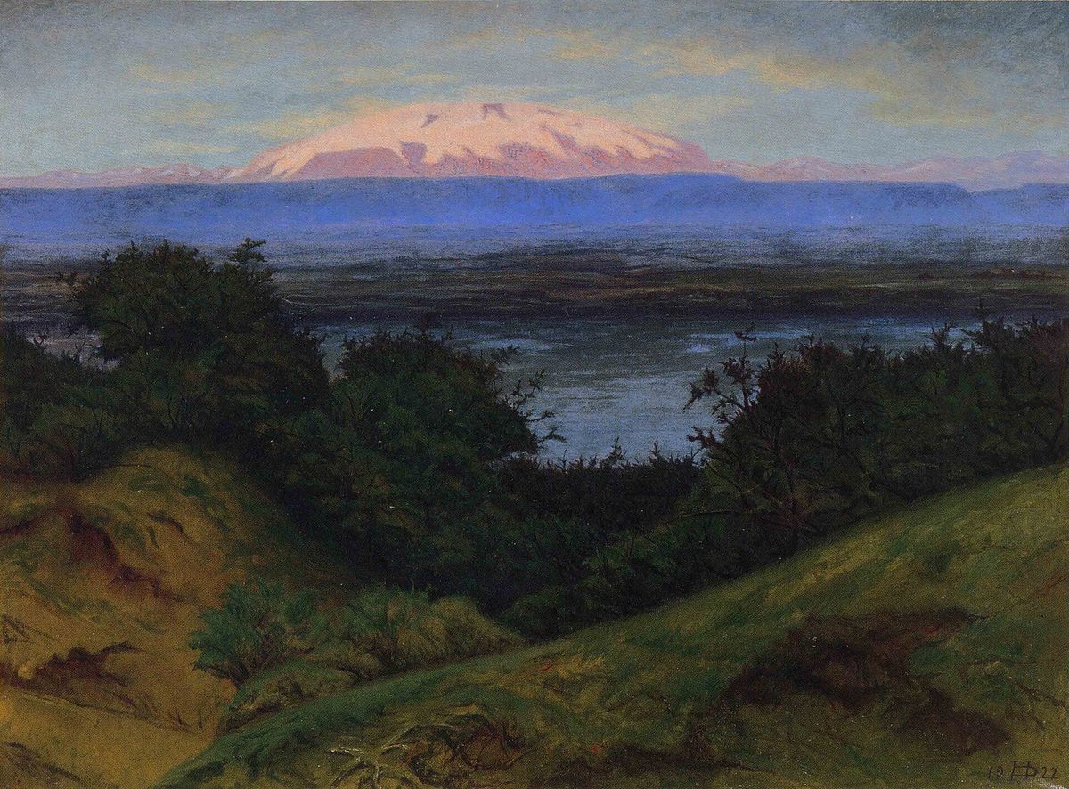
Hekla from Laugardalur, painted by Þórarinn B. Þorláksson in the early 20th century.
The 20th century brought some of its best-documented eruptions. The 1947 eruption began violently and continued for about 13 months, sending ash as far as Finland. After that, Hekla settled into a faster rhythm, erupting in 1970, 1980–1981, 1991 and 2000, roughly once a decade.
When Did Hekla Last Erupt?
Hekla last erupted on 26 February 2000. The eruption was short, lasting about 11 days, and produced lava flows on the mountain's flanks without harming any settlements.
Since then, the mountain has been quieter than its recent pattern would suggest. Scientists have measured steady ground inflation, meaning magma has been building up beneath it for years, but nobody can say when the next eruption will come.
Why Hekla Is So Dangerous to Hike
Hekla's biggest danger is how little warning it gives. Past eruptions have started within roughly an hour of the first clear signs on the seismometers, which is far less time than you would need to walk off the mountain from the summit.
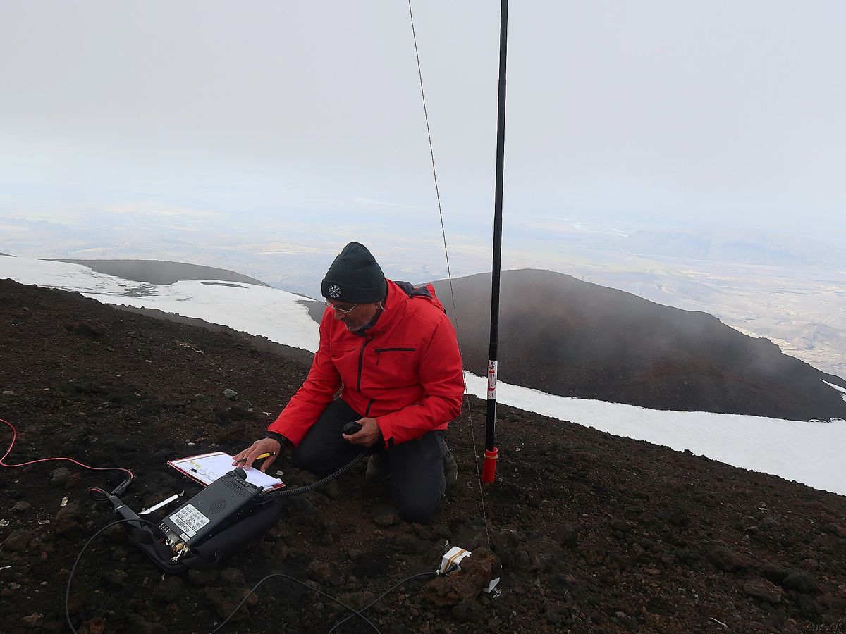
A hiker operating a radio on Hekla's upper slopes, where snow lingers into summer. The Met Office and the Civil Protection authorities monitor Hekla closely, and they can close the area at short notice. If you plan to hike, check the Catalogue of Icelandic Volcanoes entry for Hekla and the Met Office the same morning, and keep your phone on so you can receive alerts.
Can You Hike Hekla?
Yes, Hekla can be hiked in summer, though it is a serious mountain day. The usual route starts at Skjólkvíar on the northern side, reached by a rough track off the F225 Landmannaleið that needs a 4x4. Most hikers take six to eight hours for the return trip, climbing about 1,000 metres over loose volcanic gravel and snowfields.
The hike is usually done from July to September, when the track is open and most of the snow has melted. Fog can roll in quickly near the summit, so bring a GPS track, layers and plenty of water. Leave your route with SafeTravel's travel plan service before you set off.
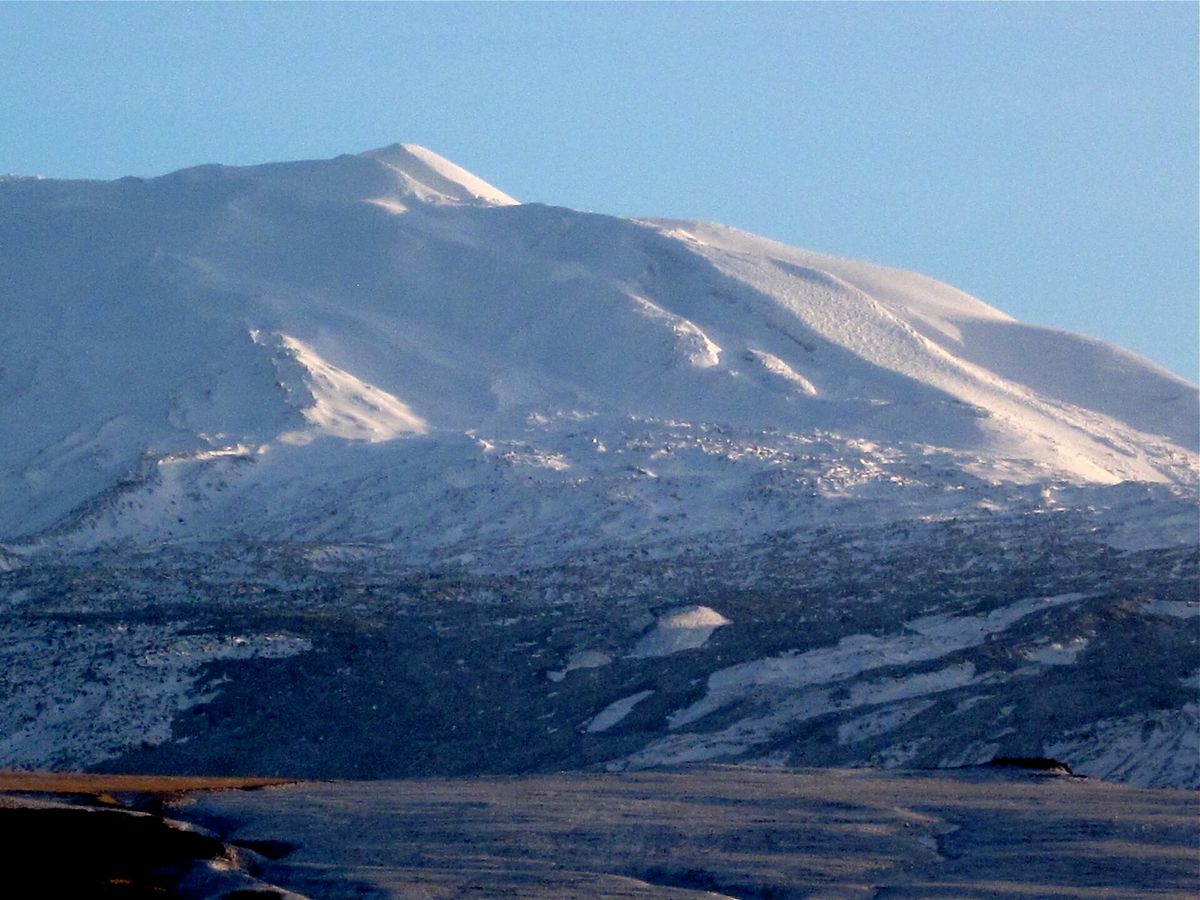
Lava and snowfields on the flank of Hekla, the terrain hikers cross on the way to the summit.
For gentler walks closer to the Golden Circle, our list of hikes around the Golden Circle has trails that do not need a 4x4 or a full day.
Where to See Hekla Without Hiking It
Most visitors never climb Hekla, and they do not need to. The mountain is at its most impressive from a distance, rising alone above the plains.
The best viewpoints are along Road 26, which runs north from Route 1 near Hella towards the highlands and passes close to Hekla's western flank. Road 32 through Þjórsárdalur gives a long view across the valley, and Route 1 between Selfoss and Hella shows the mountain clearly on a clear day.
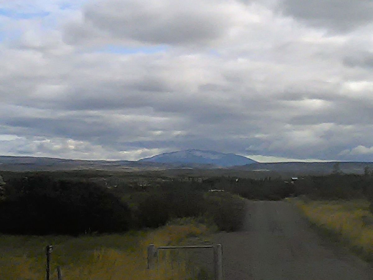
A gravel road heading towards Hekla in late summer, when the mountain often wears only a light cap of snow.
If you are on a small-group South Coast day, look north-east after Selfoss. Hekla is often visible above the farmland on the drive towards the waterfalls.
The Hekla Centre at Leirubakki
The Hekla Centre at Leirubakki on Road 26 has an exhibition about the volcano and its eruptions. It is a useful stop if the mountain itself is hidden in cloud. Its walls are built from blocks of lava, which makes the building easy to spot.
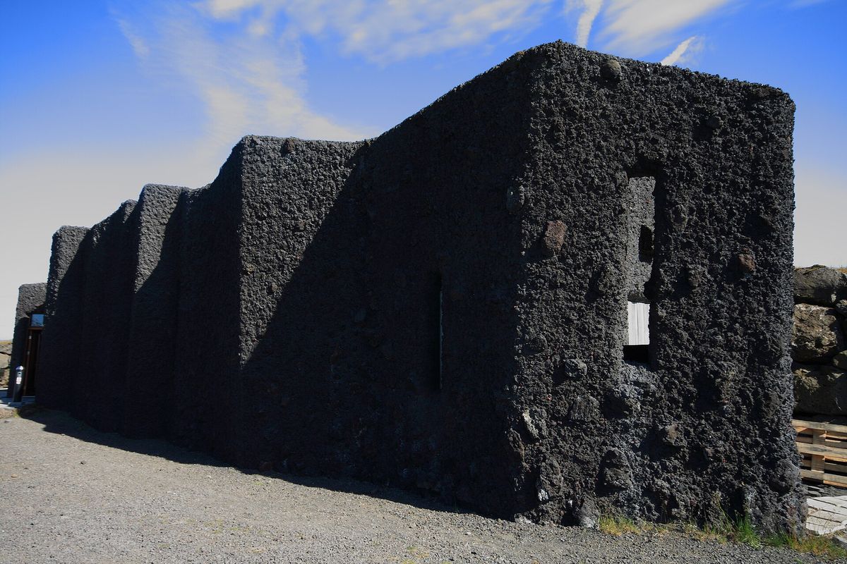
The Hekla Centre at Leirubakki, built from blocks of lava on Road 26.
Adding Hekla to a Golden Circle Trip
Hekla is not on the Golden Circle, but it is close enough to add to a longer day. From Flúðir, the drive to the Þjórsárdalur valley takes under an hour, and from there you can see Hekla across the plain before continuing to Háifoss or Gjáin.
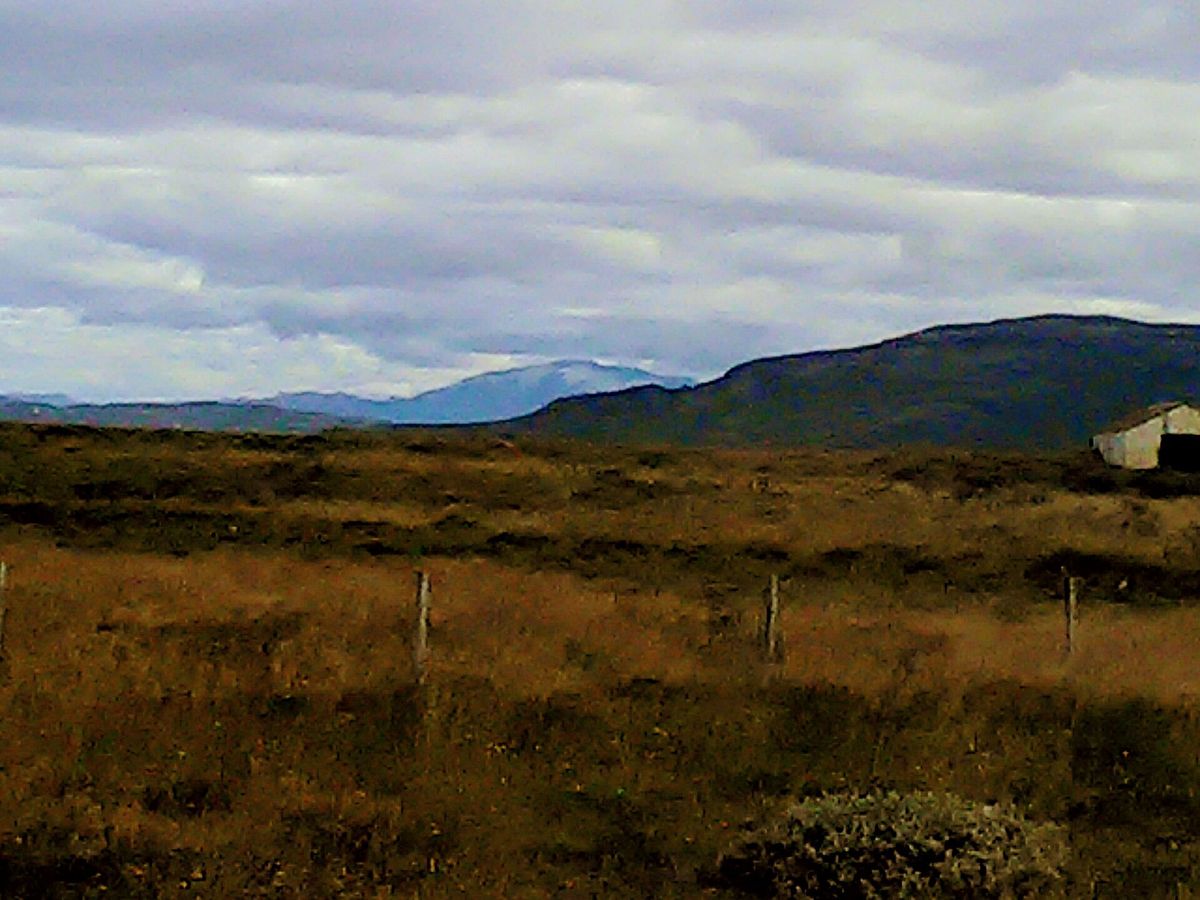
Hekla rising above the scrubland and farmland of South Iceland in late summer. A self-drive day that combines Þingvellir, Geysir and Gullfoss with a detour towards Hekla is long, so start early and leave the Golden Circle classics for the morning. On the way back, our guide to detours near Kerið crater covers stops that fit the drive towards Selfoss.
Hekla's Neighbours on the Golden Circle
Hekla is one of several volcanic landmarks within reach of the loop. On the Golden Circle itself, Kerið's red crater is the easiest to visit. It is a collapsed volcanic crater with a lake at its base, just off the road between Selfoss and the Geysir area.
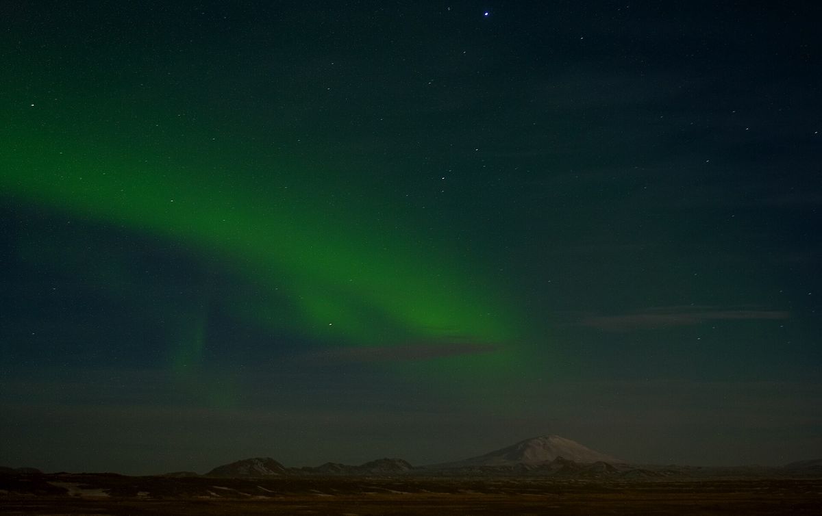
The northern lights over the plains of South Iceland, with Hekla's outline on the horizon.
For a closer look at Iceland's volcanic landscapes with a guide, our volcano tours from Reykjavík include lava cave and crater trips, as well as a Golden Circle day with Kerið and a lava field walk.
Seeing Hekla on a Private Day Out
If you want to see Hekla without planning the route yourself, a private tour gives you the flexibility to add it. A private day on the Golden Circle covers Þingvellir, Geysir and Gullfoss with your own guide and vehicle. Additional stops are available on request, so ask about adding the Þjórsárdalur valley and its views of Hekla when you book.
Compare Golden Circle Tours
Check each selected product for its current operator, guide, itinerary, meeting point, and terms.
View Our Tours

